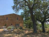
From Podere Santa Pia (Castiglioncello Bandini) to Cinigiano [1] Watch the map on www.openstreetmap.org |
From Podere Santa Pia (Castiglioncello Bandini) to Cinigiano |
The trial starts at Podere Santa Pia, passes the ruins of Podere Federano, where the stunning landscape of the Tuscan Maremma opens up. The Maremma is characterized by the spectacular wilderness of the landscape, with macchia vegetation dominated by holm oak and downy oak.
|
Starting Point, the cypresses of Podere Santa Pia
|
Podere Santa Pia, il giardino, punto di partenza. Insieme ai vigneti e agli uliveti, i cipressi sono l'elemento simbolo del paesaggio toscano.
|
|
Castiglioncello Bandini album
|
||||
 |
 |
|||
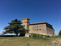
Castiglioncello Bandini, Castiglion del Torto
|
Celebrare il dolce far niente |
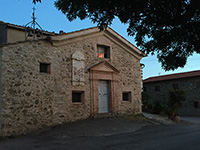
La Chiesa del Madonnino in Castiglioncello Bandini | ||
 |
 |
 |
||
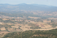
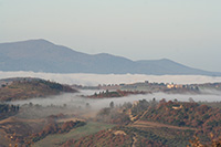
| Cinigiano, view from Castiglioncello Bandini |
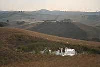
Hills below Podere Santa Pia, Castiglioncello Bandini
|
Castello Colle Massari | ||
|
||||
 |
 |
 |
||
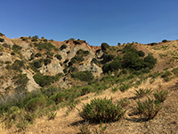
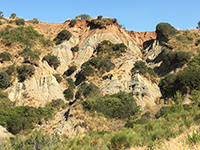
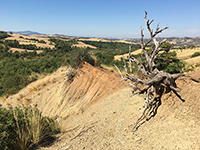
Castiglioncello Bandini, Calanchi nella valle tra Podere Santa Pia, Federano e il torrente Rancida
|
Calanchi nella valle sotto Podere Santa |
Calanchi nella valle sotto Podere Santa | ||
Taking a break in the shadow of an olive tree, just before reaching the ruins of Podere Federano.
|
||||
#poderesantapia
|
||||
Walking in southern Tuscany | Itineraries exploring Castiglioncello Bandini and the Mediterranean macchia in the valleys around the village
|
||||
