|
The ancient Romans were the first to cultivate the marshes of the Maremma, but after the collapse of their empire the area went virtually uninhabited until the 18th entury. The land has since been reclaimed, the irrigation canals unblocked and farming developed on the fertile soil. The Parco Naturale dell’Uccellina was set up in 1975 to protect the abundant local flora and fauna and prevent more development taking place. |
||
| In the North of Ombrone | ||
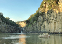
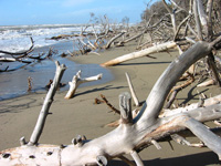
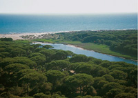
There is a plain covered by Paludi della Trappola: that is a system of stretches of water, partly seasonal and partly permanent (the so-called "chiari" or "bozzi") alternating with not very evident dunes. A typical feature of this Park area is the presence of Maremma cattle bred in a wild state all year round. The inland waters house several migratory aquatic birds during the winter, but other avifauna species live here all year round. The farthest lands from the see have been subject to reclamation activities, and are now covered by agricultural fields and modern zootechnical breedings. The territory described forms part of the delta of Ombrone, a stretch of which cuts with meanders the Park territory. On the Left of the Mouth of Ombrone The Park Central and Southern Area |
Swamps near Ombrone River (Tuscany) |
|
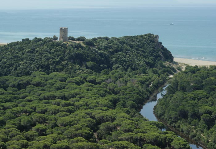
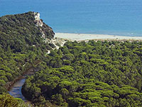
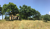
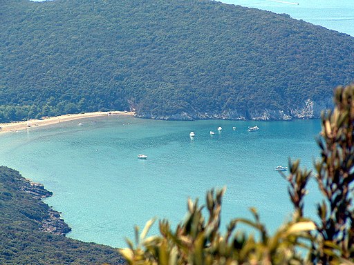
The central and southern Park areas are dominated by Monti dell'Uccellina, is a system of mountains, partly of calcareous nature and partly siliceous, reaching the 417 meters of Poggio Lecci. These mountains are today almost completely covered with a thick forest vegetation (Mediterranean maquis). Only the lower part of the slopes has been deforested and transformed into olive grove or pasture. On Uccellina Mountains there are ancient religious towers and buildings witnessing the past human presence and activity in the area: the Abbey of San Rabano - which is very damaged - and the towers of Castelmarino, Collelungo, Cala di Forno, and Bella Marsilia. The Visitor Centres of the Park (Centro Visite del Parco) are situated in Alberese and in Talamone. Visitor Center and Talamone Aquarium |
Alberese, Monti dell’Uccellina |
|
Trekking in the Parco Naturale della Maremma A1 - San Rabano | Departure: from Pratini | 7,2 km, 3.30 hours |
||
| It is a spectacular itinerary for the wonderful views it offers and for the presence of an abbey at half of the itinerary. It presents some difficulties linked to the morphological features of the itinerary itself. The ascent you will find at the beginning covers a difference in height of about 300 meters and is accessible to everyone by taking the necessary precautions.
A3 - The Caves | Departure: from Pratini | 9,6 km, 3 hours A4 - Cala di Forno | Departure: from Pratini | 12 km, 4 hours T1 - Punta del Corvo | about 3 kms, about 2 hours T2 - Cannelle | about 7,5 kms, about 3 hours T3 - Poggio Raso | about 10 km, about 5 hours P1 - Birdwatching Chiari della Trappola | about 2,5 km, about 2 hours
|
Spiaggia Collelungo (percorso A3 - Le Grotte) |
|
Cycling in Tuscany | Mbt
|
|
|
Country road, Natural Park of Maremma, Via del Bersagliere
|
||


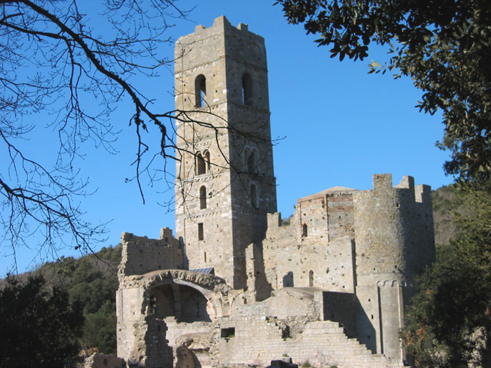 |
Abbazia di San Rabano
|
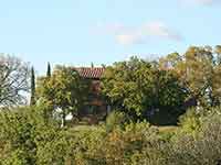
Vacanze in Maremma | I migliori siti vacanze in Toscana | Podere Santa Pia |
||||
 |
 |
 |
||
Podere Santa Pia |
Podere Santa Pia |
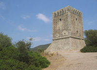
Torre del Cala di Forno |
||
 |
 |
 |
||
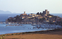
Talamone |
Marina di Albarese The most famous part of the Maremma is the Parco Naturale della Maremma, otherwise known as the Parco dell'Uccellina |
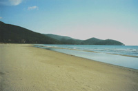
Principina a Mare The Ombrone River located along the coast of Maremma Grossetana, where it flows into the Tyrrhenian Sea in Principina a Mare. |
||
|
||||
Galleria Monti dell'Uccellina
|
||||
 |
 |
 |
||
Cala di Forno
|
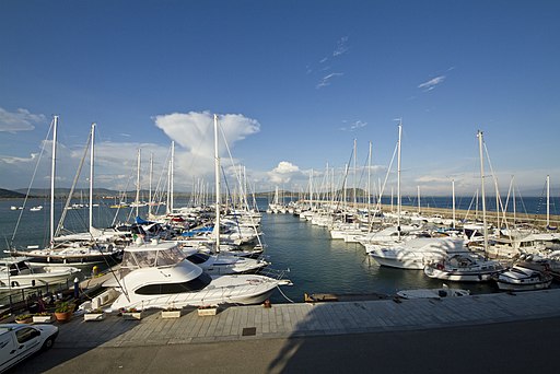
Alberese, Monti dell'Uccellina | Porto di Talamone | ||
www.parks.it provides interesting information and itineraries. Parco Naturale della Maremma | www.parks.it | Map | Itineraries | (Eng) (Deutsch) (It)
Kompass 651 (2005), Maremma, Argentario, Grosseto, Isola del Gigilo 1 : 50 000.
|
||||
 |
 |
|||
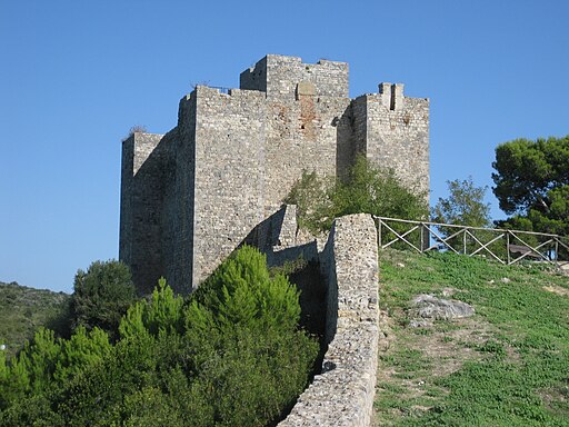
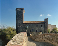
Vulci, Castello della Badia |
The oasis Vulci extends along the river Fiora, where a water fall has originated a small lake, lago Pellicone, where it is possible to bathe. |
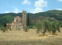
Sant'Antimo |
||